I really didn’t think that this part of the trip was going to happen. The weather all over the UK had been really bad leading up to my departure date, so even though I was hoping for at least some clear sky, the idea that a climb of Ben Nevis would be possible seem unlikely at best.
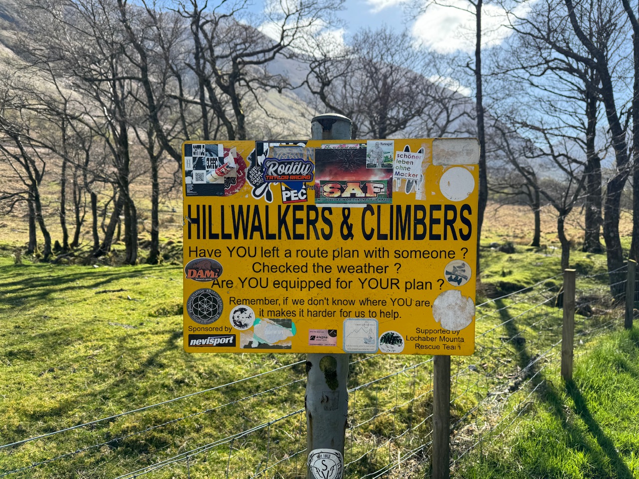
So again I’ve been dealt a fabulous hand. While on my way up the mountain a man told me this was a millionaire day. I don’t quite understand what that means but it’s definitely not going to be a bad thing. It had everything going for it. Not many people and perfect conditions. I was told by another person than the zig zag paths look like a conga in peak season. I really don’t think I’d like that. I think I’ll just stick with a millionaire day. I’m not fussy.
It’s steep
I was conscious that it takes about 8 hours to go up and down the mountain. So I knew if I left the campsite by 10am I should be down by around 6pm. As it doesn’t get dark until about 9pm I felt I had time in hand. My only nagging thought was that when I watch people on YouTube do this climb that always start really early. Like 7am. So I was concerned I was being a little reckless. But in my defence, I was told by the camp site reception that there was a van selling bacon rolls on site at 8am so I knew I had to wait for that at the very least.
Bacon roll eaten. Rucksack emptied except for food, water, first aid kit, coats and hats and I was ready to go. I’d overheard the lady on reception telling another couple how to get to Ben Nevis. She said out the gates, turn left, and then you’ll get to the Ben Nevis visitor centre and from there you can get to Ben Nevis. I assumed this is what I’d already mapped out as well so I headed in that direction. My watch though was telling me I was going the wrong way but I carried on as I figured, as she lived here, she knew what she was talking about.
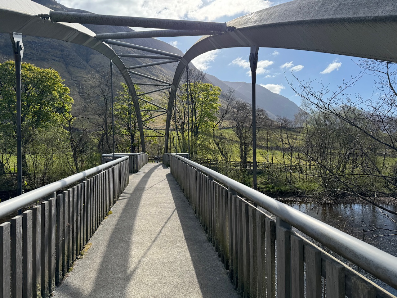
My route said I should have turned right and then there would be a bridge on my left, and from there it would be straight on to the climb up the mountain. This route would have been shorter as the one I was now talking took me out of my way. I figured that, as sometimes is the case with the Ordanence Survey Maps, some paths or bridges become impassable over time and they don’t get updated. This is certainly the case where paths have been rerouted for conservation reasons.
On I went and after about half a mile got to the visitor centre, quick toilet trip as I didn’t want to get caught out on the mountain, across a bridge, and then back along the river, right to the point where I would, and could, have crossed if I’d followed my route. Oh well, I’ll go the shorter route on the way down.
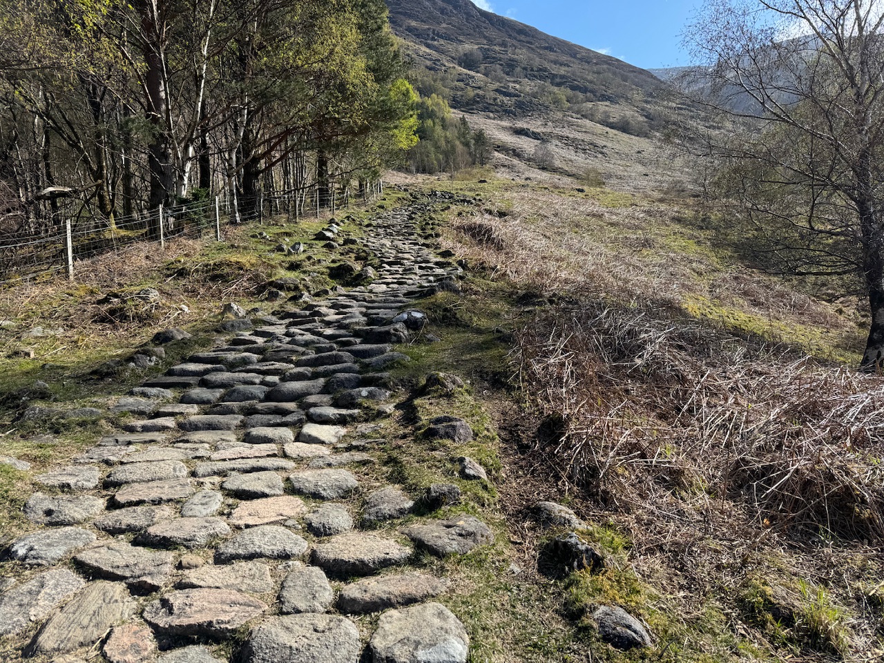
At the bridge it’s a turn left and then up. A lot of up. I was actually quite surprised how steep it was straight away. Those first few hundred yards were quite a slog. But, as I’ve said too many times now, I just took my time. Stoping every so often to marvel at the evolving views as I climbed.
Craggy in places
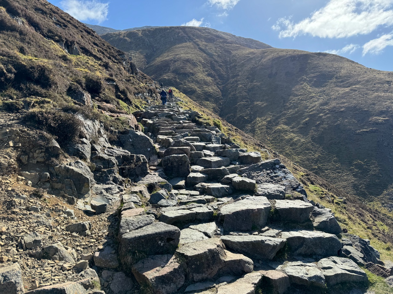
I imagine many of the Munro’s in Scotland have a lot harder climbs than this. Ben Nevis, being the biggest mountain, and therefore very popular has well maintained paths. However, they were still a little difficult in places, which large steps or little parts with rock obstacles to negotiate. A man I met near the top told me that he believes it’s made slightly difficult near the bottom to put off the unprepared. I don’t know if this is right but it would make good sense if true.
About an hour in some people had sat down next to the path and were having lunch. I think, because the summit is not visible (in fact you’re initially climbing up a peak next to Ben Nevis), there is a false illusion that you’re about half way up. I didn’t fall for this because my friend Rob had warned me about it. He and his wife had climbed the mountain and had stopped for lunch a little early and had ended up being surprised but how much further they had to go. Thanks for the advice Rob. I’d had a similar warning in a call from my Dad just as I set off, so I was quite well prepared.
I did get slightly concerned when people started passing me coming down but soon I saw people behind me on their way up so I was not on my own.
Not too steep now – just relentless
I continued on my way. At one stage the path flattens out a bit near a tarn where you transition over to Ben Nevis. I don’t know if the whole thing is called Ben Nevis or if it count’s as two mountains as there are two peaks. I’m not sure how that part works.
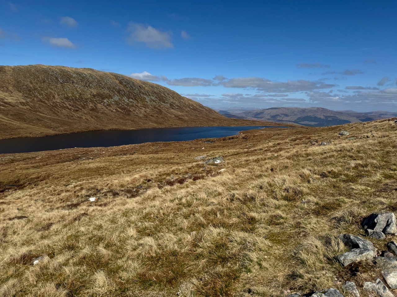
I didn’t find the climb too hard but it does go on for a long time. It is a relief not carrying much of a load on my back so I did feel very light, so that was a nice feeling. I was actually starting to pinch myself that there was a good chance I was going to make it to the top.
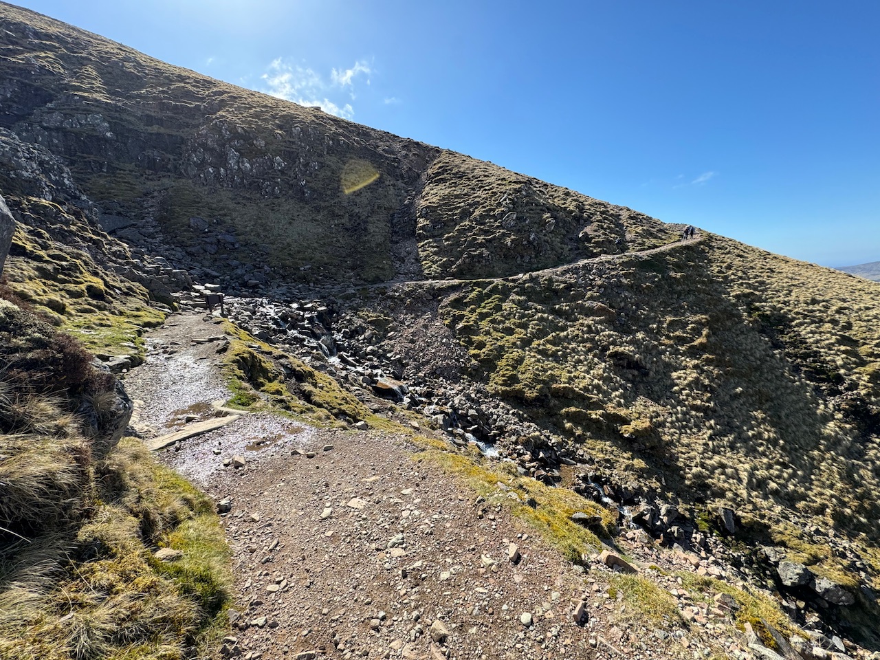
Just before I hit the snow, I met a man who didn’t know how many times he’d walked up. He said he used to use it as a little warm up in the mornings. We walked together for a while and chatted. He said he’d got obsessed with trying to climb all the Munro’s but it’d all got too much and his wife was starting to get annoyed. He’d just spent the last two weeks in the Cairngorms and this was his last treat as the weather was so good. He told me his wife was picking him up soon as she knew if she didn’t pick him up he wouldn’t go home!
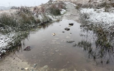
First ice
It was actually really useful walking with this man because of his experience. I saw that there was some ice around me and I think, as I didn’t have any cleats, if he’d not told me it was ok I might have thought about turning back. I don’t want to overplay it, I think Ben Nevis is quite an accessible mountain, but I just didn’t know what was sensible. In fact, the man I was with told me how quiet it was as on a good day like this, normally the turn backs up the mountain look like people doing the conga. We were lucky, perfect day and not many people.
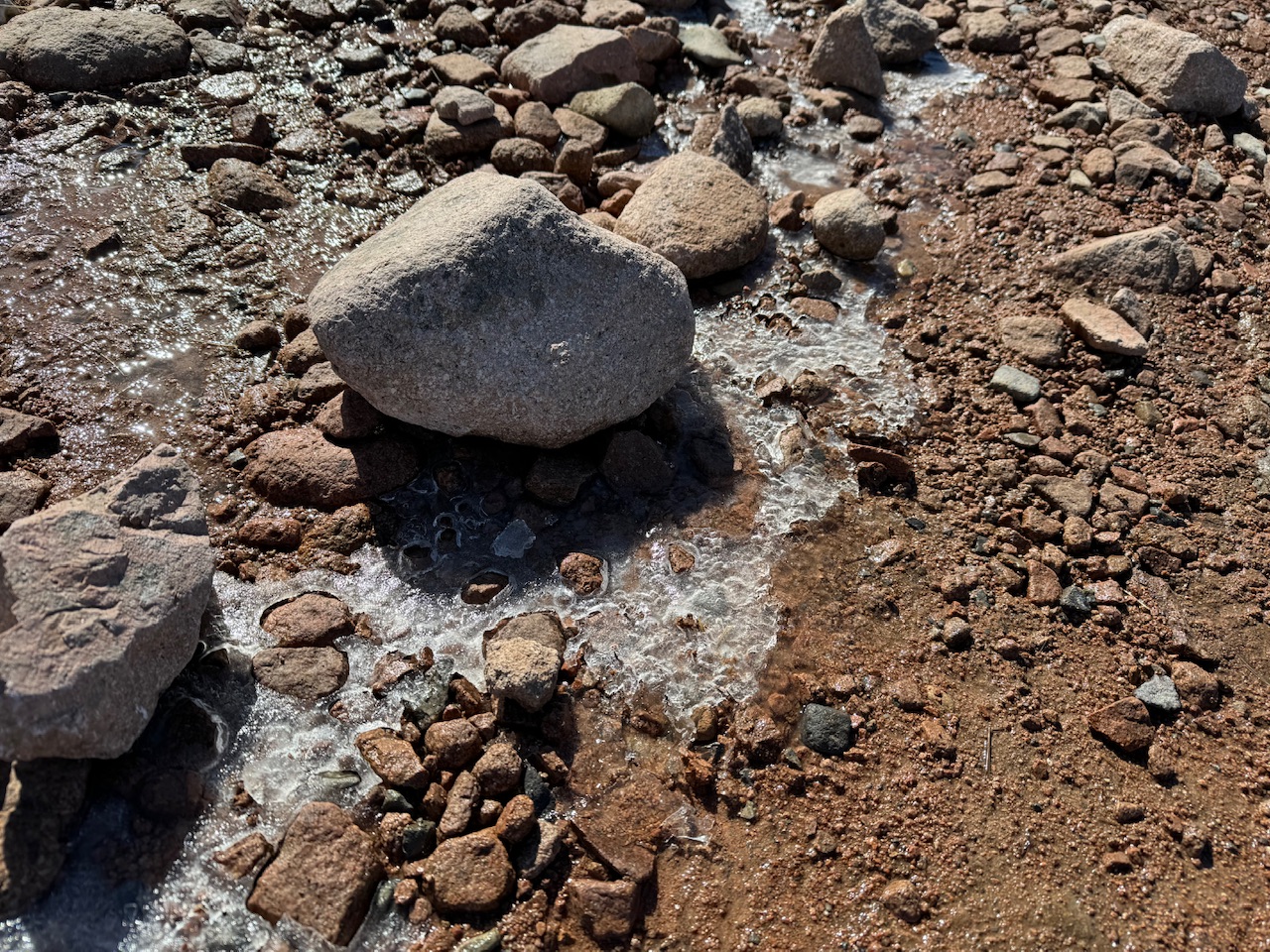
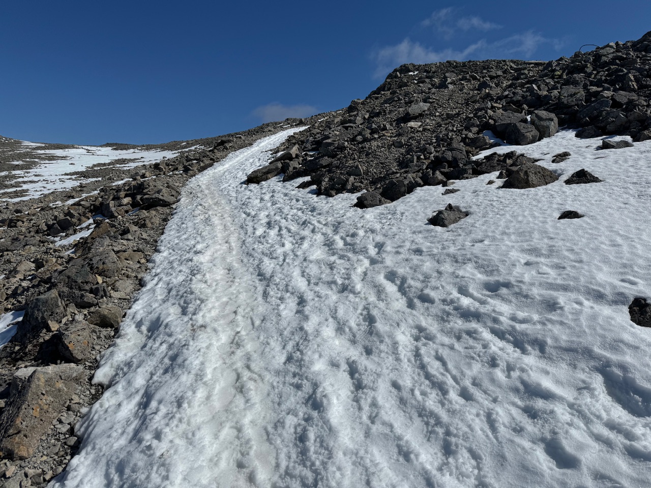
We pressed on and I realised how daft I’d been taking a picture of the first ice I’d seen as we were soon surrounded by snow. It was a little slippy but my boots seemed to be doing a good job of it. I was really enjoying this part. Having to really take my time. My walking companion had now left me and said he’d meet me at the top so I was back on my own. But that’s good, I could do my own pace.
Lunch time
As you near the summit there’s a level part just before a final slope up to the highest point. The slope is really wide was well, like Bradgate park and it did remind me of when it used to snow when I was young and we’d go there to sledge down the hills.
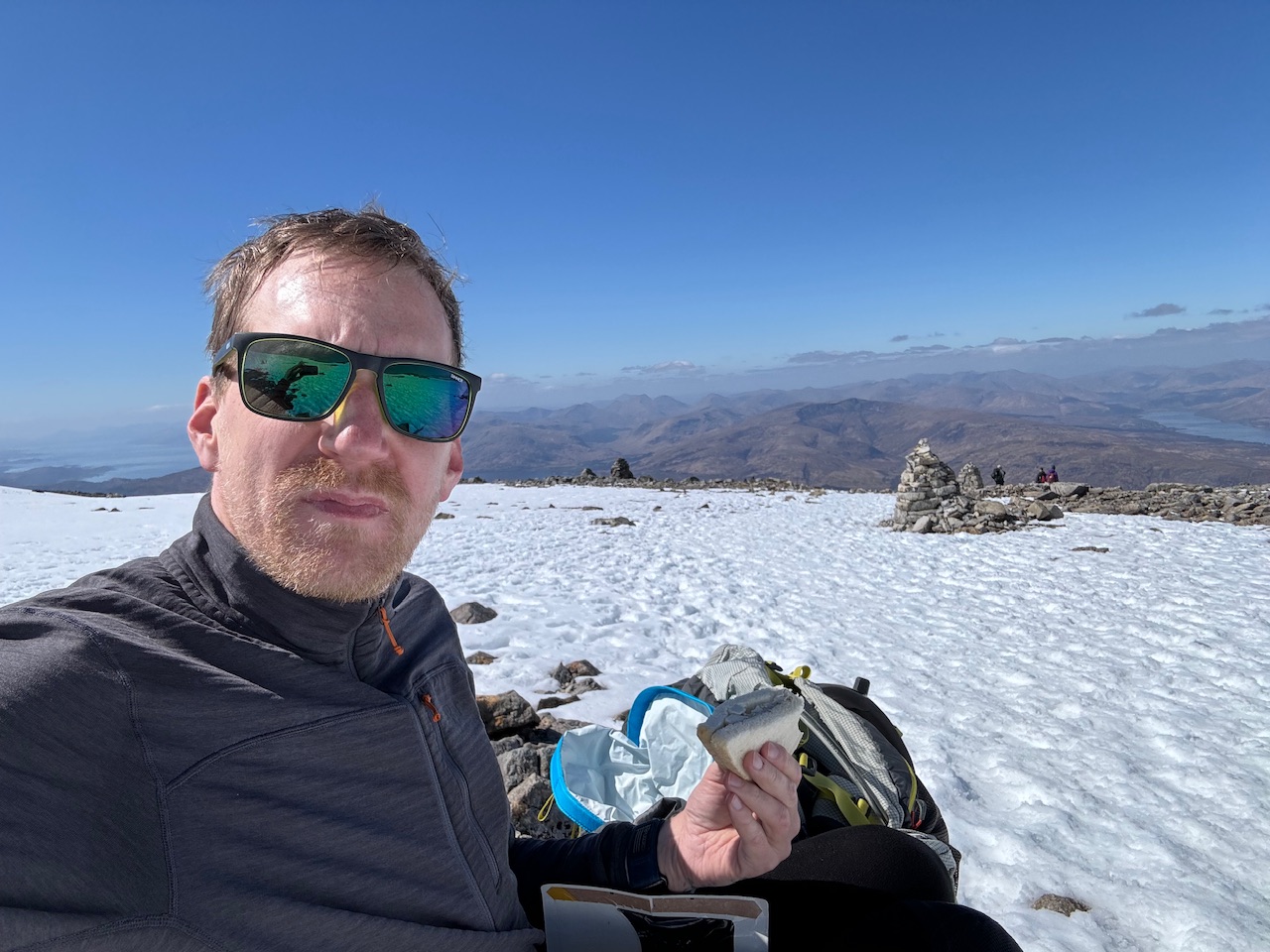
I decided this would be a good moment to have some lunch so sat down on a rock to eat my sandwiches. I thought I’d put off the final push for a bit and try to enjoy the moment. I also messed around taking loads of pictures as is usual for me.
The final push
It was only about 200 yards from where I had lunch to the summit. The slope was a little slippy to get up but it was fine. There was a man throwing a ball for his dog which made me chuckle. I don’t know why, it was just such a normal thing to be doing, but seemed strange as well.
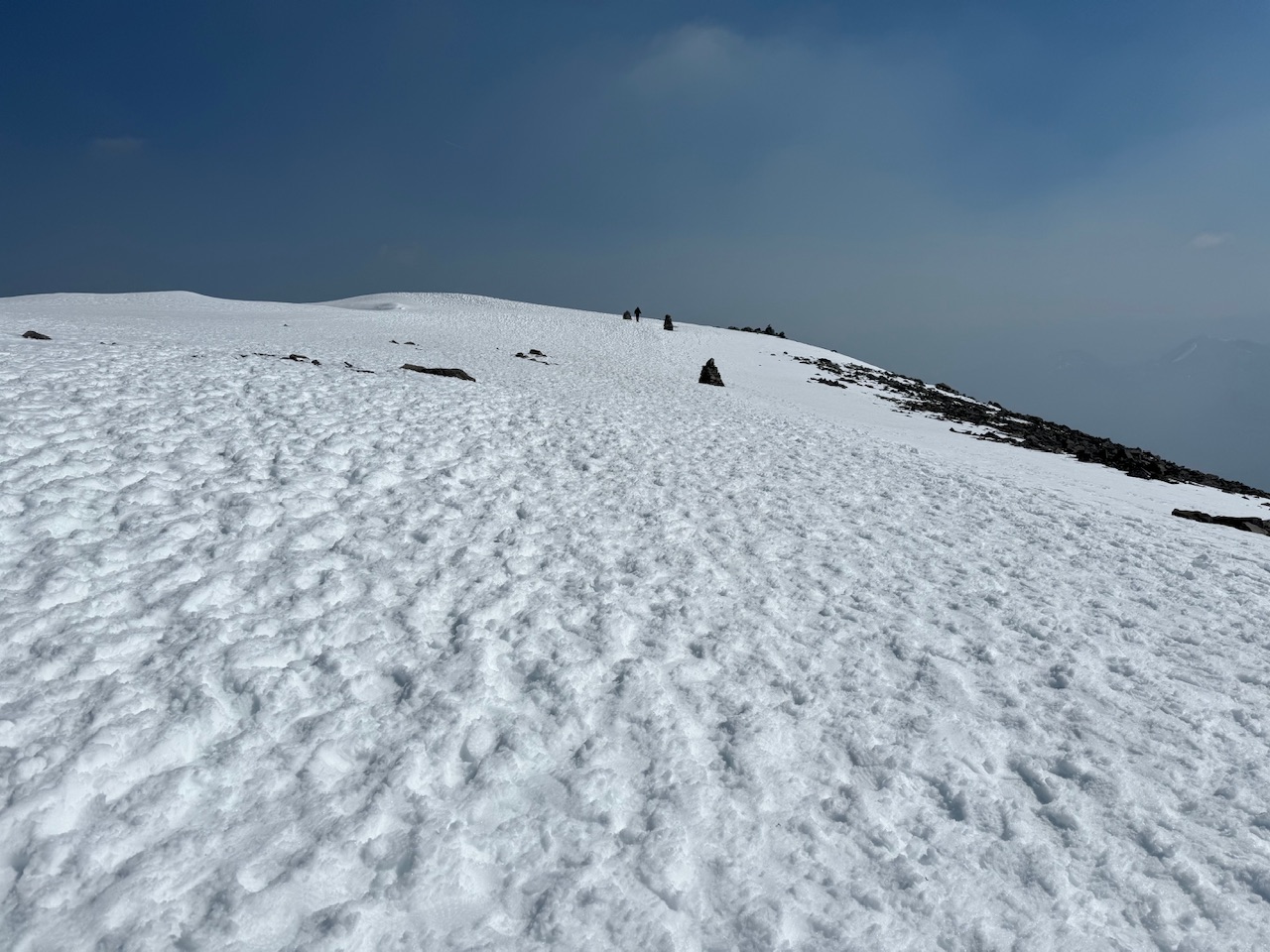
The summit is massive. It’s like a football field but covered in snow. I would have been scared to take the kids up here because you could see some overhanging edges, basically just snow, and I know they’d push their luck and go too near to the edge.
I had my picture taken at the top by some kind people, although I then took theirs in return. And then someone else’s. I then took a wander around the top for 10 minutes. It was great to be up there.
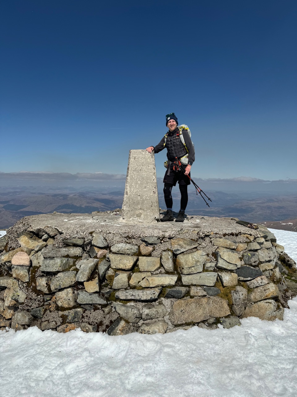
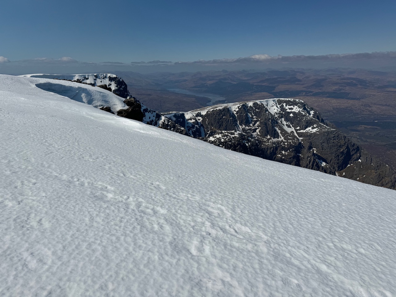
Unfortunately there was a forest fire on one side which was reducing visibility due to the smoke so some of the views were hazy but I didn’t let that ruin the moment for me. I could still see a long way in most directions and the views were spectacular. By this time there were only three of us on the summit. It was amazing.
Time to go
It’d taken me 3 hours to get to the top, plus 30 minutes for lunch, so I didn’t think that was too bad. I figured getting down would take a similar time so I’d be back at my tent for around 5pm. This would be a really early day but I was pleased about that. It’d be novel for me as well to have the tent waiting for me and already set up. I’ve liked staying at this campsite for 2 nights as I’ve been able to keep the tent up and not have to pack and unpack for one day. It’s been really nice.
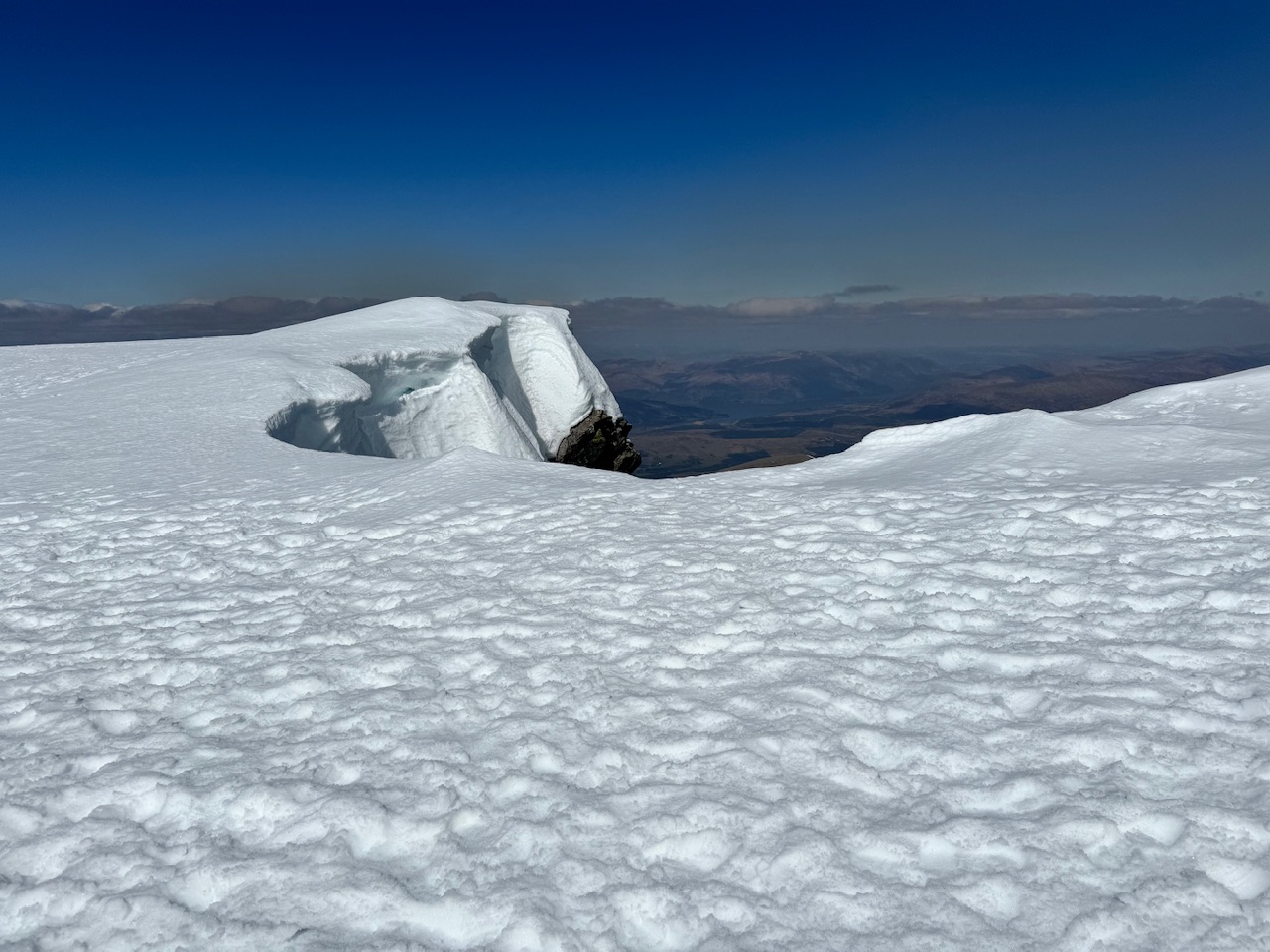
The views coming down seemed different to the ones going up. I’m not sure they were but I suppose I was facing in a different direction. Again, way too many photographs. How on earth did we cope with just a 36 or 24 film. It was nice though, looking at the path I’d taken through the forest the day before. Then I’d been looking up at Ben Nevis, wondering about the climb, and today I was looking back on where I’d been, but with a couple of new achievements under my belt. It’s a shame I couldn’t talk to myself from then and say it was all going to be good.
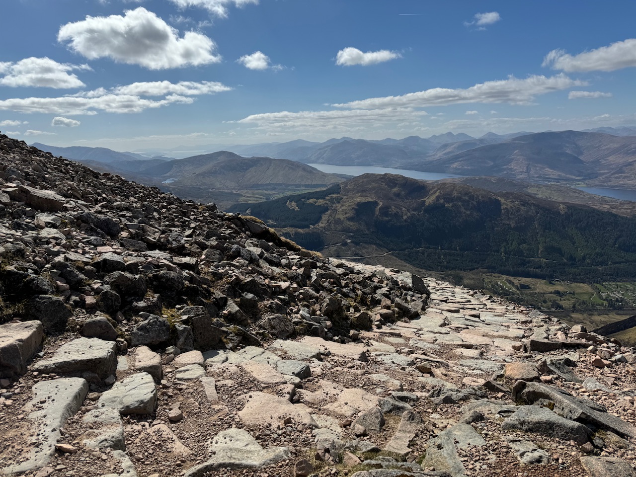
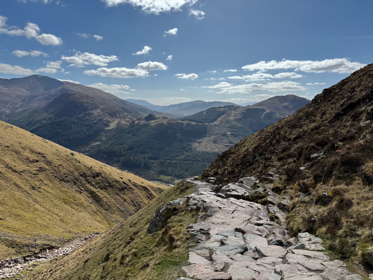
The picture taking on the way down was getting a little out of control so I had a stern word with myself to stop it and just enjoy the descent and try to take it all in. I sort of listened.
At the bottom I crossed the bridge I should have originally taken and made my way back to the tent. I must admit I was feeling pretty good about everything. Then Kian called me to say he’d broken the screen of the phone I’d given him a week ago, which sort of brought me down to earth.
The wrong mountain
With the early finish I had time on my hands. So headed to the campsite restaurant and treated myself to steak and chips, a large coke, a glass of Sauvignon Blanc, followed by sticky toffee pudding and another Sauvignon Blanc. I was back on a high again.
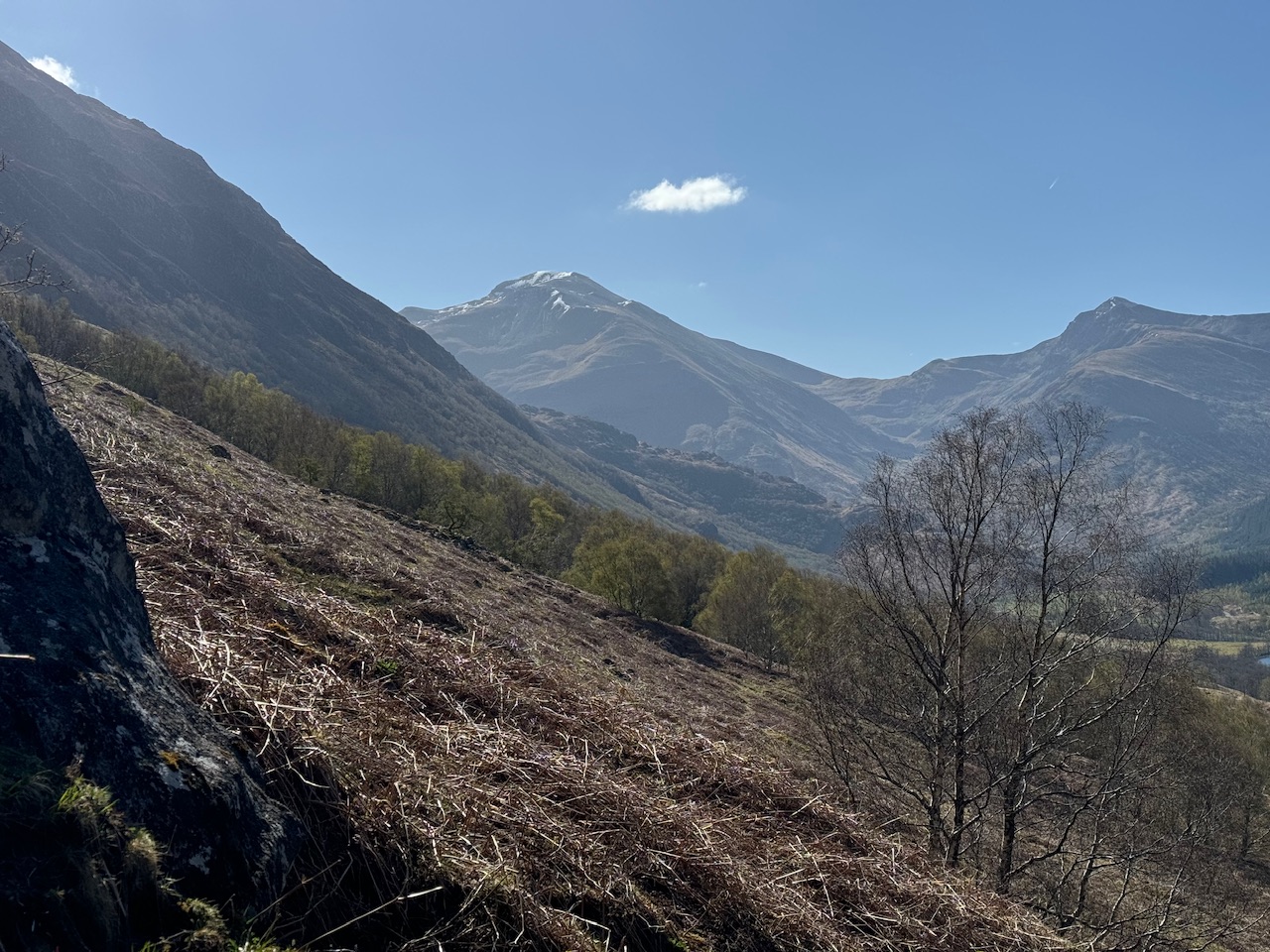
Before my climb I’d been communicating with my friends on text and also with Jenny and had sent them a picture of a mountain I could see from the campsite. Saying I was about to climb it. Well, I didn’t climb that mountain because it wasn’t Ben Nevis. I had the sneaking suspicion I’d made the mistake when I started to climb Ben Nevis and it wasn’t the mountain I’d taken the picture of. I imagine, although obviously not as high, the mountain I’d taken the picture of would have been a tougher climb. I think I made the mistake because even though you can clearly see Ben Nevis from the campsite the summit is not visible. In fact, you can see the lowest bits of snow from here, and when I passed that snow I was only about two thirds of the way up. So I think my error is excusable. Little more research required Ben!


0 Comments