I plan these walks but I seem to only plan some parts. I’m really good at sorting out my trains, booking campsites and hotels, booking time off work, and also buying new kit. I’m really good at the new kit part.
The area I really lack is the route. By that I don’t mean that I’m unaware of what way to go. Again, I like that bit. I program it all into my watch and the OS Maps app on my phone and they basically tell me the way to go. It’s barely even needed on the West Highland Way because it’s so well signposted. I think it’d be pretty hard to go the wrong way.
No, what I mean is things on the route. Like where shops are or where there might be a tough climb or sections where there is no way of getting any supplies like food or drink. All this information is out there and easily accessible, just needs someone to be bothered to look. Which brings us to now.
I did know about the Devils Staircase. Not from any books but by other walkers telling me. It’s talked about like some kind of mythical beast that has to be defeated. If I’d planned I would have known whereabouts on my route it would appear, but typical me, I only realised when I was half way up it. Not normally an issue, and to be frank it isn’t really a big deal, but gives me something to write about. I hit it at 7pm, with about 2 miles to run before I was happy with what I’d given myself left to walk tomorrow. So about the time I’d start looking for a decent pitch. So instead of the nice pitches I’d seen people setting up on at the pub a few miles back, I was faced with setting up my tent half way up a mountain.
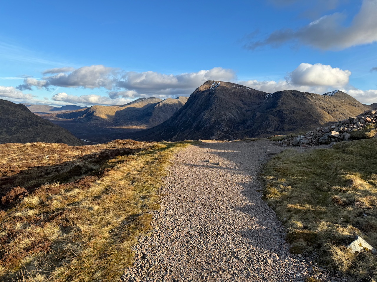
There were a few people setting up a few hundred yards up but that was no good to me. I hadn’t done enough miles. So I pressed on up. I’m not going to say the climb was easy but it also wasn’t the worst I’ve seen. It certainly wore me out but nothing out of the ordinary. I was just a little bit worried about time. Due to lack of research I didn’t know how long it took to climb, or what it was like on the other side.
I’m building this up to a big crescendo and I realise now the story goes a bit flat. I got to the top where three German lads were pitching up, and they were happy for me to join them, but I didn’t want to intrude and also I fancied to a bit more distance. I got a little way down and found a really good spot and thought, why not. And here I am.
The only down side, but actually it’s a bit of a plus, is that there is no mobile phone reception. So I’ve contacted Jenny on my Garmin Satellite messenger thingy to tell her all is well and now I’m relaxing in a really nice spot.
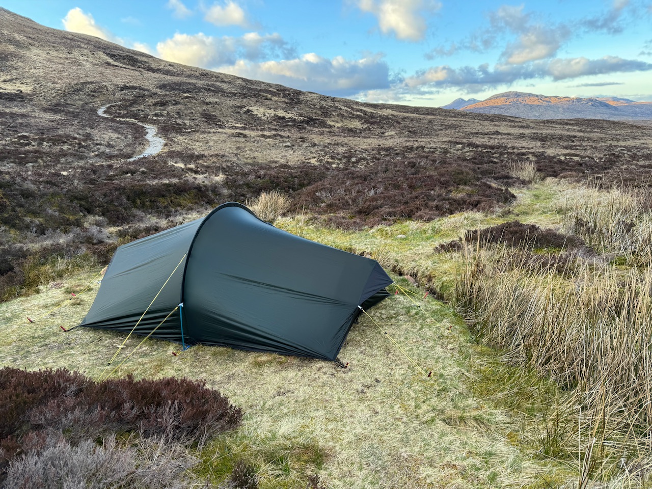
So in summary, buying kit and not planning properly pays off.
A frustrating start
I slept really well and woke at about 7am but decided to upload my latest post (it needed the photos uploading and that’s a pain) so I didn’t start packing up until 9am. Never mind though, this seems to be my way and as the days are so long and I’m still being incredibly lucky with the weather I can walk till past 8pm without issue.
Once packed up I decided to have another go with the drone. I’m still really rubbish with it so I need to use it more. The battery was low so I swapped it out for a new one. After playing around for 10 minutes I decided it was definitely time to hit the road and off I went.
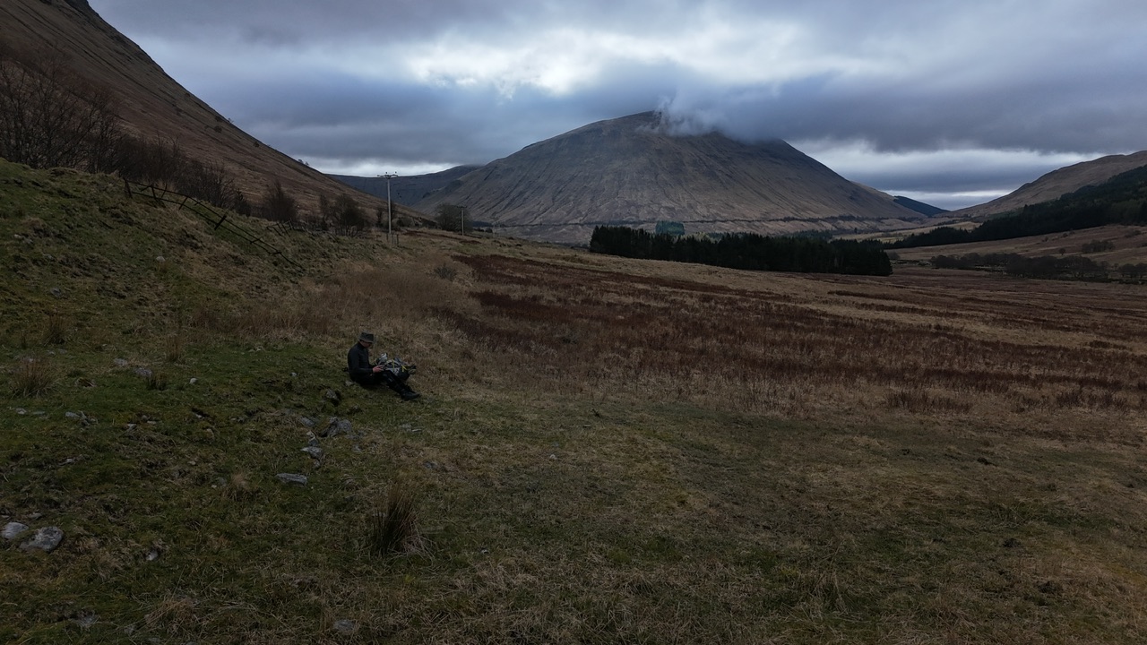
About a mile down the road I saw a really good stream and as I was out of water, and as the stuff I had collected the night before contained more sheep wee than I prefer, it seemed a good idea to refresh it.
After filling up I realised I couldn’t remember if I’d put the drones old battery in my rucksack. I checked and couldn’t find it so headed back down the road to where I’d used. Sure that I’d just left it on a rock or something. It wasn’t there. I searched my bag again, it was there. So that was half an hour wasted, but at least the views were stunning so I took it on the chin and vowed to be less forgetful and more organised.
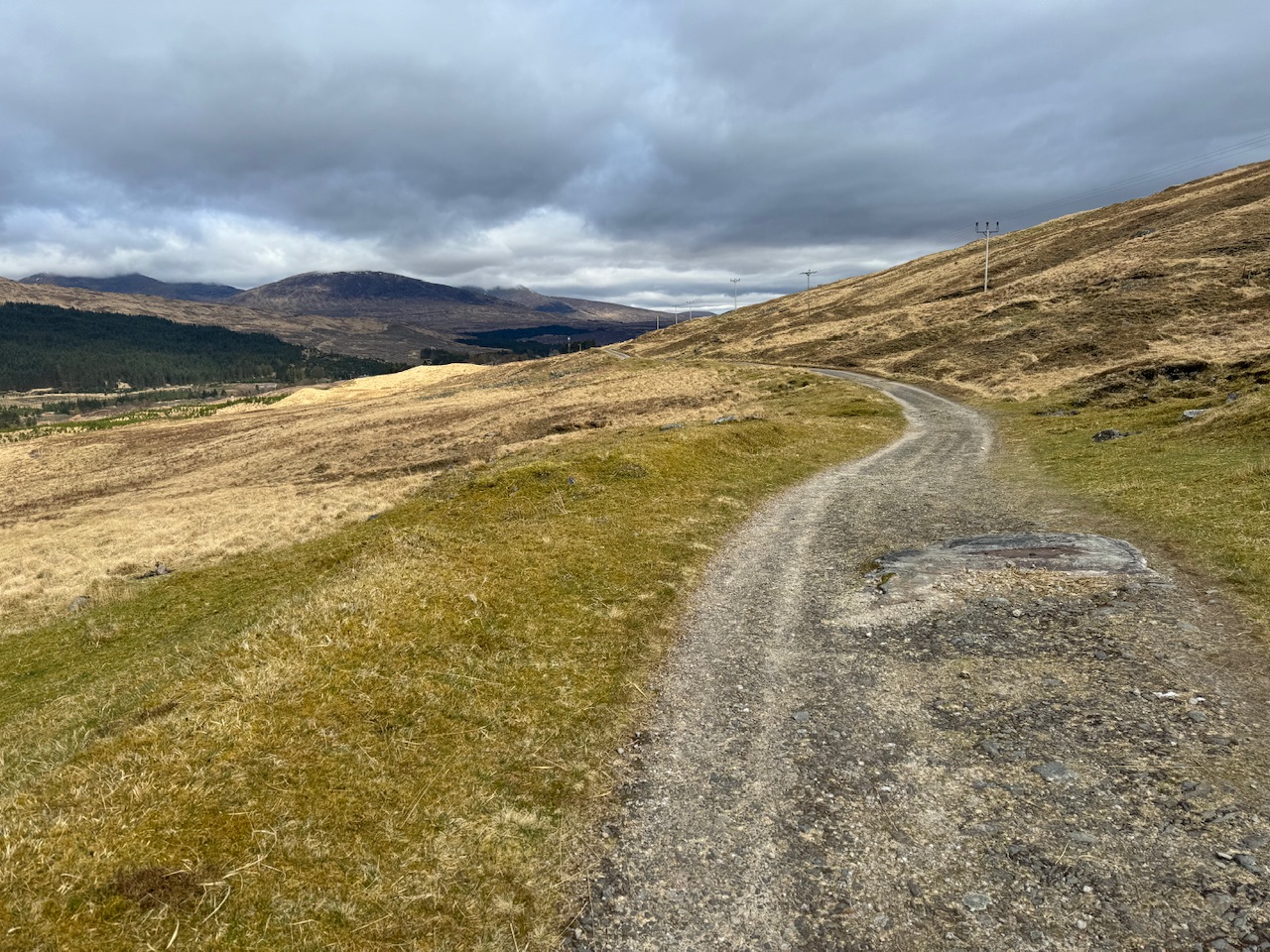
About a mile down the road again I worried that I’d not put my tent poles and pegs in my bag after I’d taken them out to check for the battery. Luckily, I checked and they were there.
Now, can we please get on with this walk!
The maths is simple
I’ve had the whole of the West Highland Way route stored on my watch and the main display I use tells me how far I’ve got to go until the end. It doesn’t tell me how far I’ve gone, just how many miles to Fort William. So today was simple. Whatever mileage I had left on my watch at the end of the day, I would have to walk tomorrow. I wanted that to be less than 20, ideally 18, but less than 20 was the important bit.
The start of the walk was just flat until you get to the Bridge of Orchy Station. Once there you then head into your first climb up Mam Carraigh. It’s a decent climb but the views were, as usual, well worth it. I’m starting to find some of the rocky paths quite hard on my feet though. They’re made up of loose rock so they constantly dig into your feet. My feet are doing ok but it was making them ache.
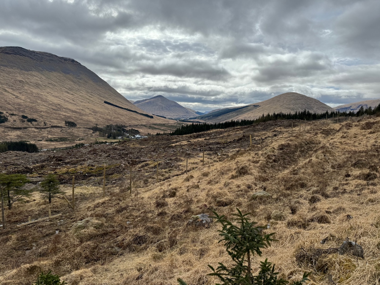
As soon as you hit the top you’re going back down again. There’s a hotel at the bottom with a shop and bar. It was a bit rubbish in my opinion, maybe they’ve not hit peak season so aren’t properly open but the only thing on the menu was soup.
And now we go up, and up, and up
From the hotel there’s a short stint on a road and then onto a wide path that just keeps on climbing. Not especially steep but just relentlessly keeps on going up. I was enjoying the views though. Each mile that passed a different snow covered mountain would appear. I was trying to work out how much snow there was on the tops. I thought if I imagined a person stood on the top I’d get an idea of the amount of snow. Would it be a massive field of snow to that person or just a snowball. But I couldn’t picture how big a person would look up there so it was a useless technique. It seems strange that I was quite hot and I could look up and there was a very cold environment just a, very long, stone throw away.
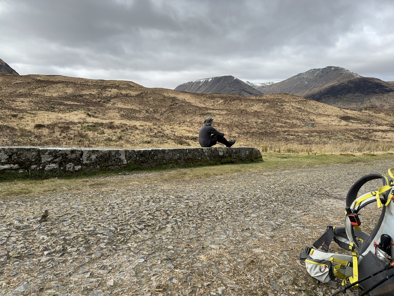
I did really enjoy looking down on the A82 from the high path I was walking on. It feels like quite a flat plain amongst so many mountains. I always enjoy travelling on that road but do prefer it if someone else is driving because I’m always gawking at the mountains.
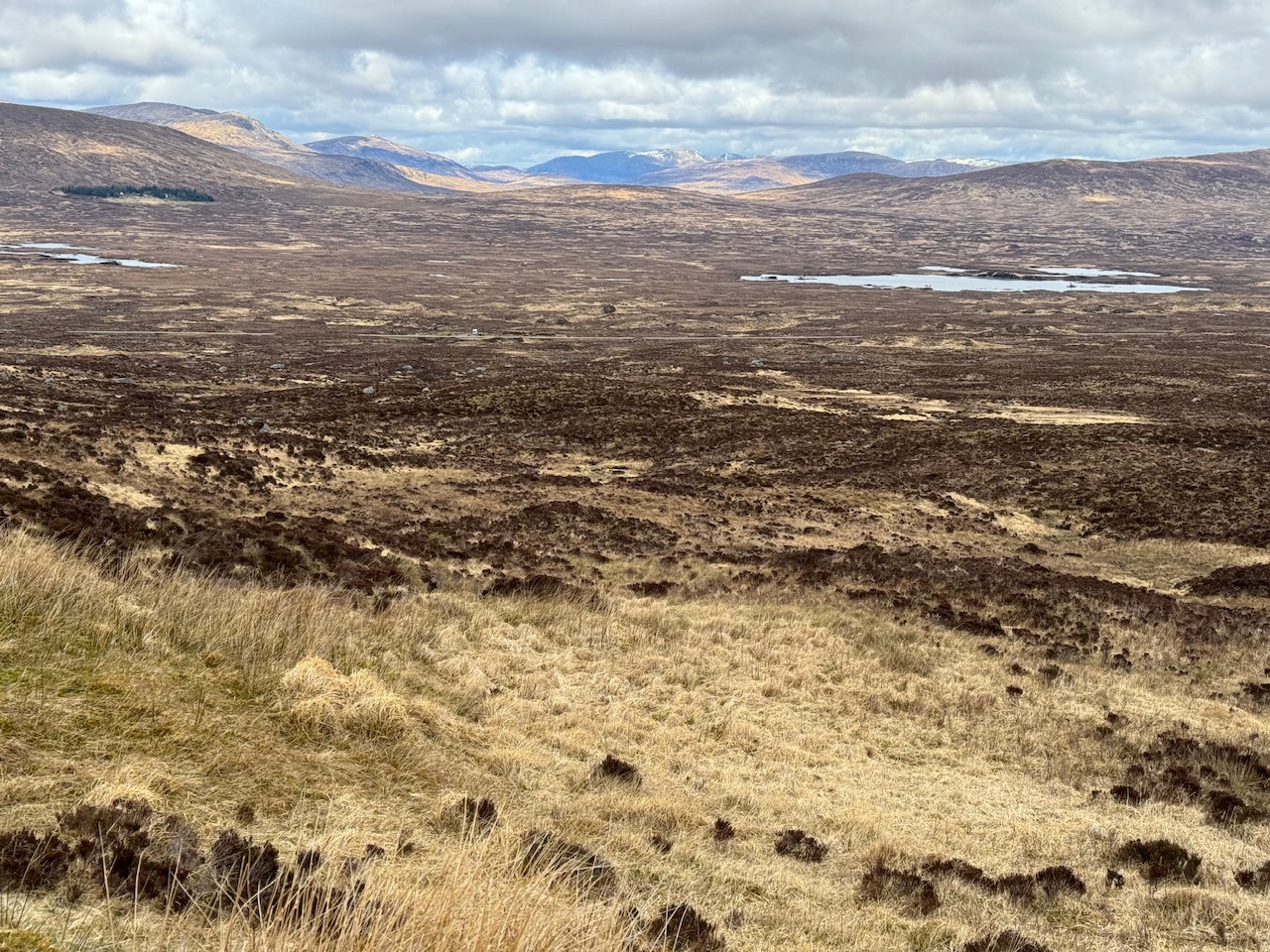
Down into Glenco
The path stays high for many miles, and I was still finding it quite hard underfoot. I met some nice people though. One recommended I take a train from the Bridge of Orchey. He said it was the best train journey he’d ever had. I assume he was talking about the views. I’d be a nightmare if I was with anyone as I’d be constantly trying to spot the path.
Eventually the path drops down into the Glenco ski resort. I’ve always wondered how busy they get but the chair lifts were running so something was going on. I could see snow at the top so maybe it’s still skiing. I imagine that makes way to mountain biking in the summer. Although I did see a video on YouTube where a man flew his hang glider off Glenco and managed to fly over Ben Nevis. I would like to do that next!
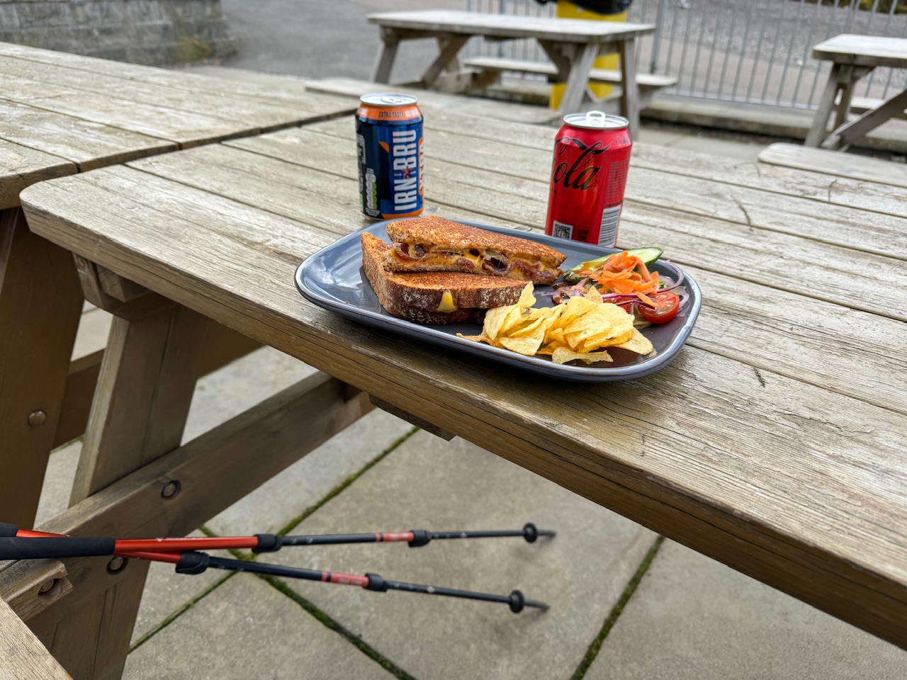
I grabbed some lunch at the cafe at Glenco and then headed back to the path. Here you have to cross the main road. Best be careful here. I thought I had ages to ages before a car and then needed to break into a little jog. They didn’t seem to be slowing down so I assume they would have just run me over.
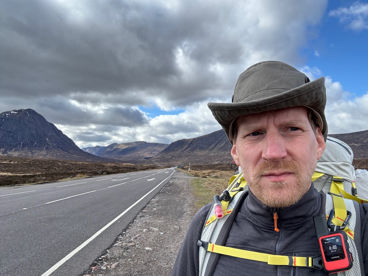
I couldn’t say no
Not long after the crossing I got to another hotel. I didn’t need anything else to eat or drink but a young man that worked there started chatting to me and saying how welcome walkers were and I should get a drink. So I had a blackcurrant squash. Turns out I was thirstier than I thought.
This part of the trail is truly stunning. The mountains are so beautiful but also intimidating. I find them so mystifying and how they can be both of those things at the same time. I tried again to get some shots with my drone but I’m still not entirely happy with the results. I’m finding it a bit irritating.
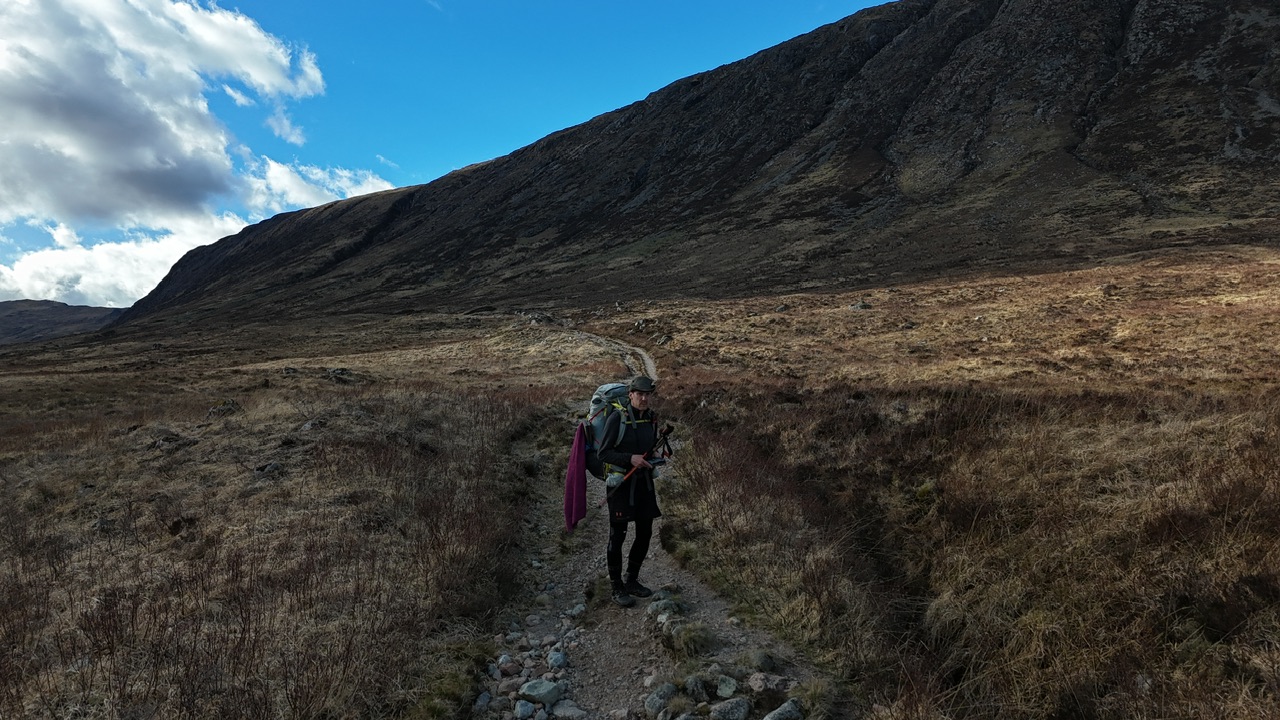
And here we are
So after that I was on a mission to get the remaining miles to below 20. They were about 24 at the pub so I carried on right into the Devils Staircase and the rest you know.
I’m pitched right next to a fast running stream so Leslie will be proud of me as having access to water is important in wild camping. What she’ll be less impressed by is that I picked some up at an earlier stream and then carried the litre of water I’d collected about 3 miles, including the climb up here. I’ll get there one day.
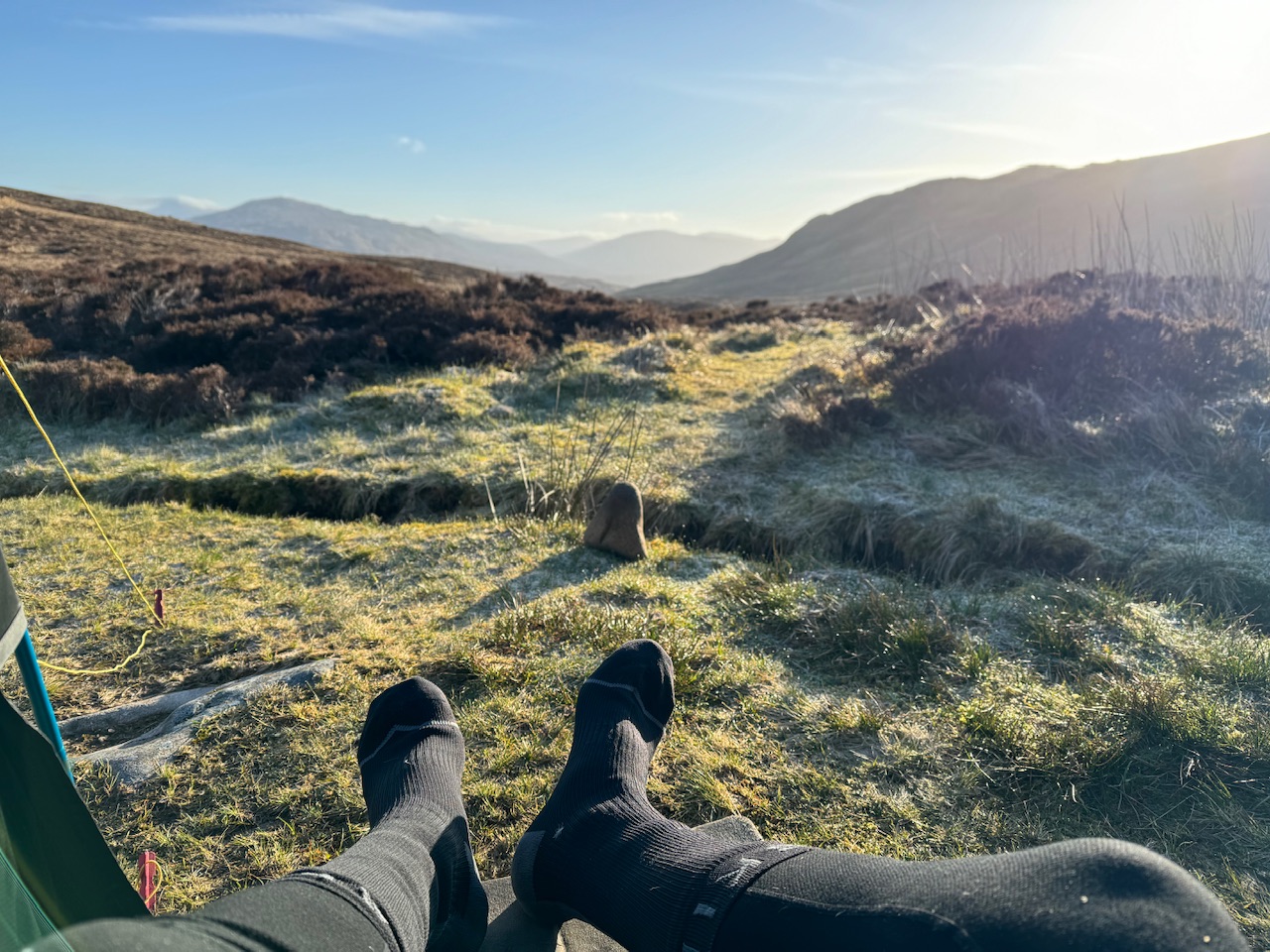
Now, what do you do to pass the time when there’s no internet. I don’t think I can remember.
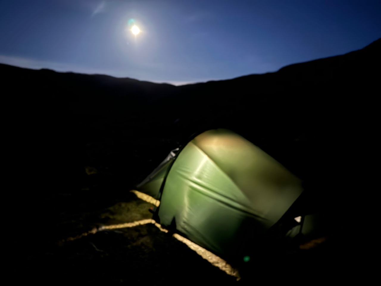
As a quick aside. The stream running next to the tent is quite loud but I often think I can hear voices in it. Also, looks like a full, or nearly full moon so not pitch black in the tent. I tried to take a picture but it was rubbish.

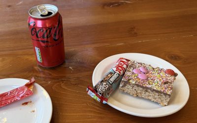

The Toastie looked pretty awesome. You can tell you’re in Scotland with the Irn-Bru!
Yep, even if you don’t like it I felt compelled as I was in Scotland
Hi Ben. Looks like you have been really lucky with the weather so far. You’ve got some great photo’s. Really proud of you mate, best foot forward and all that xx